|
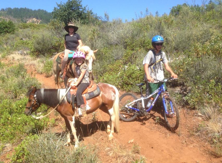
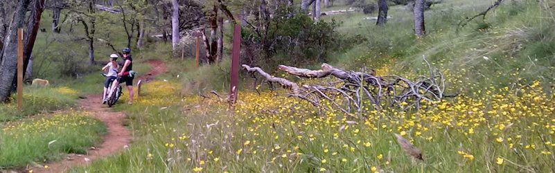
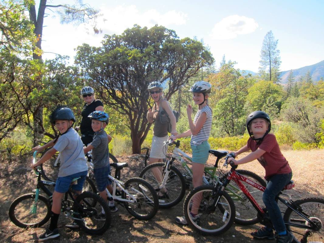
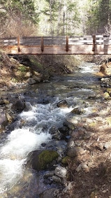
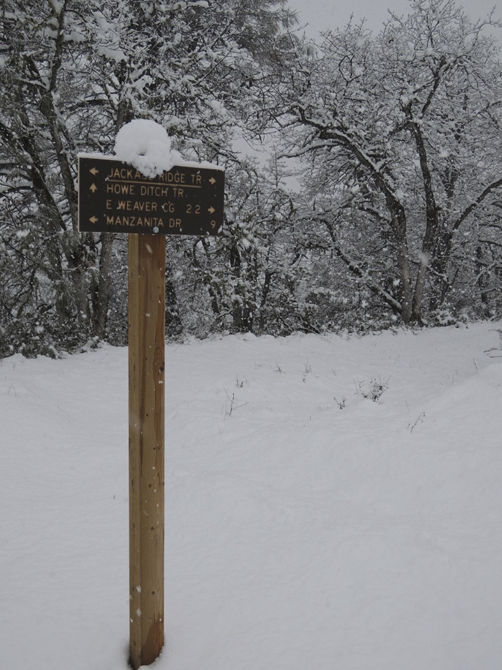
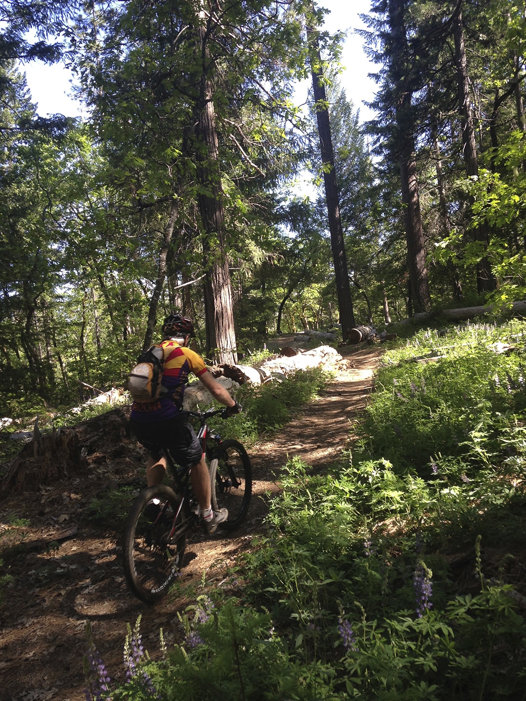
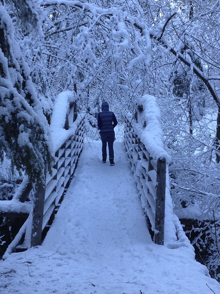
Weaver Basin Trail System Variable length: Up to 50 miles of multi-use trails surrounding the town of Weaverville, CA. Low to high elevations changes Difficulty: Easy - Intermediate User groups: Pedestrians, Equestrians, and Bicycles Up to 50 miles of trails for hiking, running, biking and horseback riding, with multiple entry points around the town of Weaverville. Multiple loops are available from different parts of town so that you can customize your experience based on how much time you have and how much energy you want to exert. The trails welcome well-behaved, of- leash dogs. Trail maps are available at Tammie’s Books, the Trinity County Chamber of Commerce, or Mamma Llama Coffeehouse, all on Main Street (Hwy. 299) in Weaverville. Trail Maps Trailforks MTB You can also download a map from Trinity County Resource Conservation District: Weaver Basin Trails or use the interactive online map. Watch the 2015 24 Hour World Championships Course Preview - Weaverville, CA. Get a glimpse of what it is like to ride on the Weaver Basin Trail System. |
Ride the new Sweepstakes Trail! In this video you get to join Redding Trail Alliance on the first shuttle run down Sweepstakes Trail in Weaverville, CA. The trail is located in the Weaver Basin Trail System. A must ride if you are in the area. More segments are still being added to this already insanely fun and long downhill. Enjoy the video happy trails. |
Trinity Lakeshore Trail
Located on the west bank of Trinity Lake
Low elevation changes
Difficulty: Easy
User groups: Pedestrians, Equestrians, and Bicycles
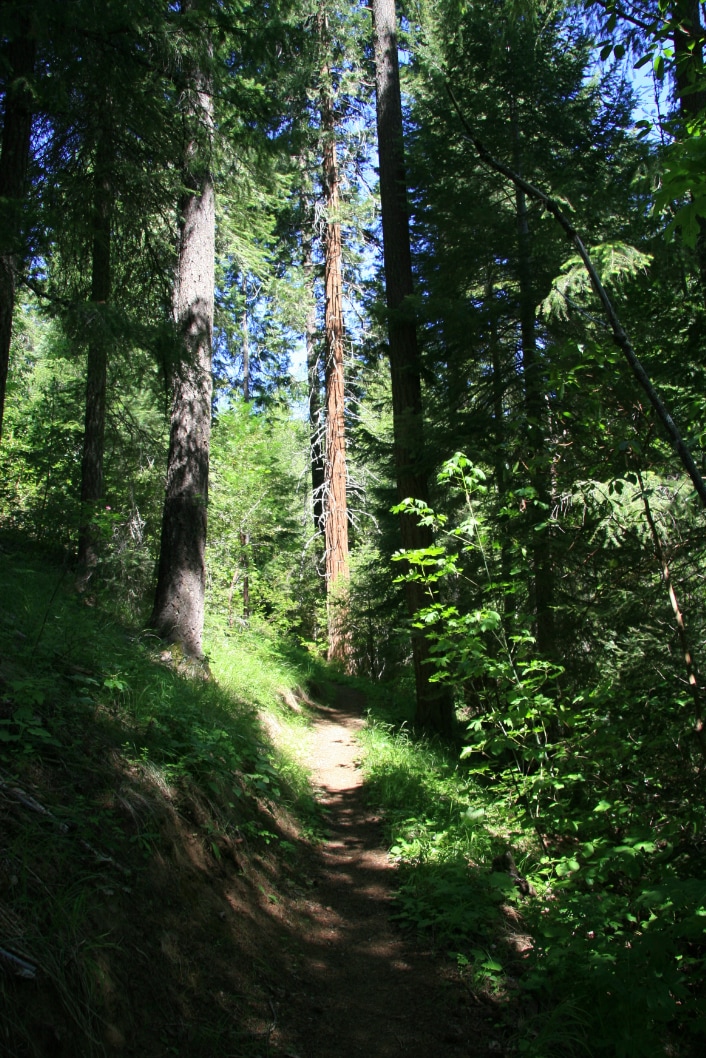
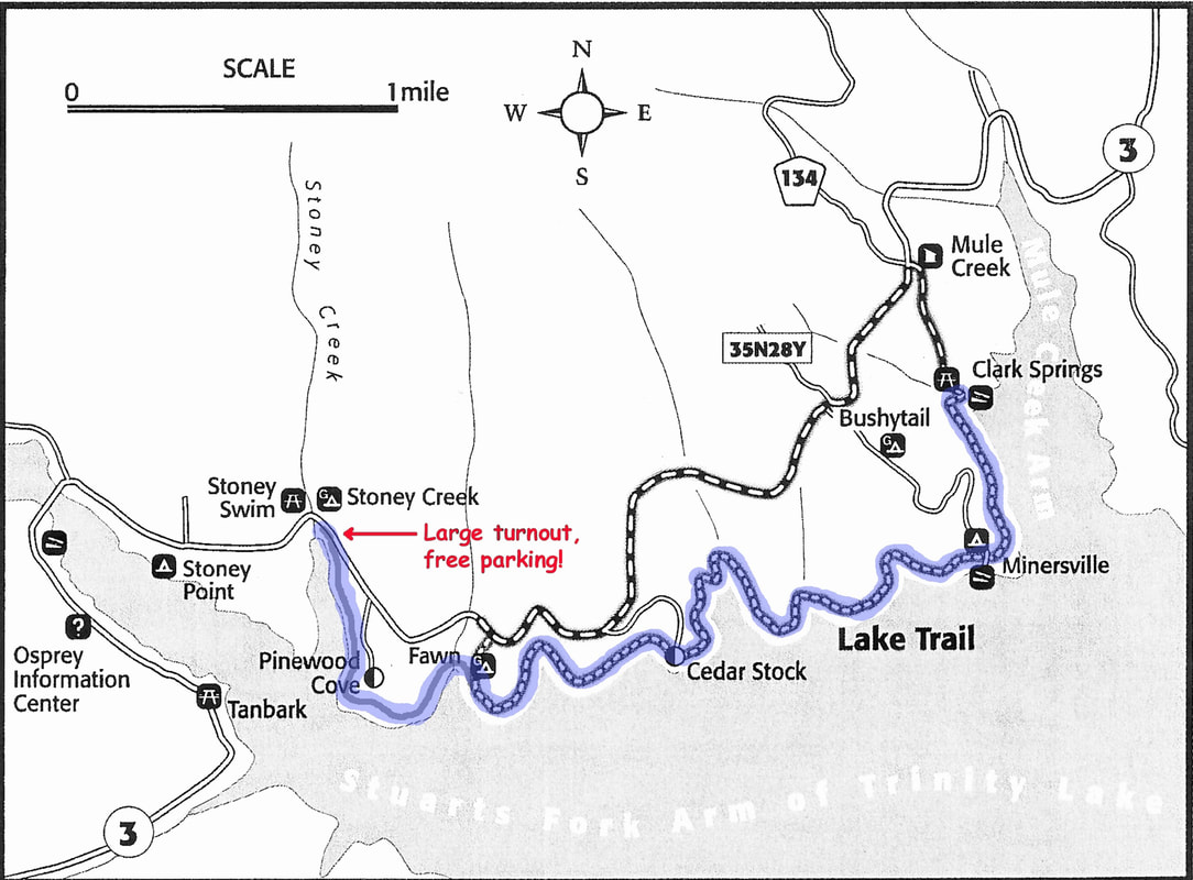
The Lakeshore Trail (in blue) is a fun, easy, multi-use trail connecting campgrounds and resorts along the north side of Trinity Lake. The trail is approximately 4.6 miles long, running from Clark Springs Campground through Pinewood Cove Campground (a private resort) and continues to a large turnout on the south side of Hwy 3 (free parking), just east of Stoney Creek Group Camp. There are a few short, steep stretches along the route. The trail is shaded and meanders through an old-growth forest. Please stay on the trail when walking or riding through the private facilities. Food and drinks may be available at Trinity Lake Resort &Marina and Pinewood Cove Campground during the summer season. Enjoy views of the lake from this shady, forest trail along Trinity Lake. This is a great, family-friendly trail that can enhance your memorable visit to the area.
Located on the west bank of Trinity Lake
Low elevation changes
Difficulty: Easy
User groups: Pedestrians, Equestrians, and Bicycles
The Lakeshore Trail (in blue) is a fun, easy, multi-use trail connecting campgrounds and resorts along the north side of Trinity Lake. The trail is approximately 4.6 miles long, running from Clark Springs Campground through Pinewood Cove Campground (a private resort) and continues to a large turnout on the south side of Hwy 3 (free parking), just east of Stoney Creek Group Camp. There are a few short, steep stretches along the route. The trail is shaded and meanders through an old-growth forest. Please stay on the trail when walking or riding through the private facilities. Food and drinks may be available at Trinity Lake Resort &Marina and Pinewood Cove Campground during the summer season. Enjoy views of the lake from this shady, forest trail along Trinity Lake. This is a great, family-friendly trail that can enhance your memorable visit to the area.
Ewing Reservoir Trail System and more
Hayfork, Ca, a 2.5 mile loop
Low elevation changes
Difficulty: Easy
User groups: Pedestrians only
The trail follows the shoreline of Ewing Reservoir. Access and parking is from Brady County Road 323 and Ewing Reservoir County Road 361 in Hayfork. Equestrian and bicycle use are currently not permitted. Be respectful of private property and community water source.
Click here for more trails in the Hayfork area.
The Watershed Center maintains nearly 40 miles of trails annually in the South Fork Trinity River Basin. Trail maintenance ensures that people have access to our public lands and is a vital component of ecosystem protection. Proper maintenance prevents soil erosion, environmental damage, and habitat destruction, and protects water quality, ecosystem health, and fish habitat—as well as improved user experiences! One example of these projects is the Friends Enjoying Ewing Trail (FEET) project.
The Field Crew, Hayfork Youth Conservation Crew and OHV programs all play a role in implementing trail maintenance. If you are interested in trail conditions, or want to report needed maintenance along a route in the South Fork Trinity River Basin trail system, contact Tom at 530-620-4206